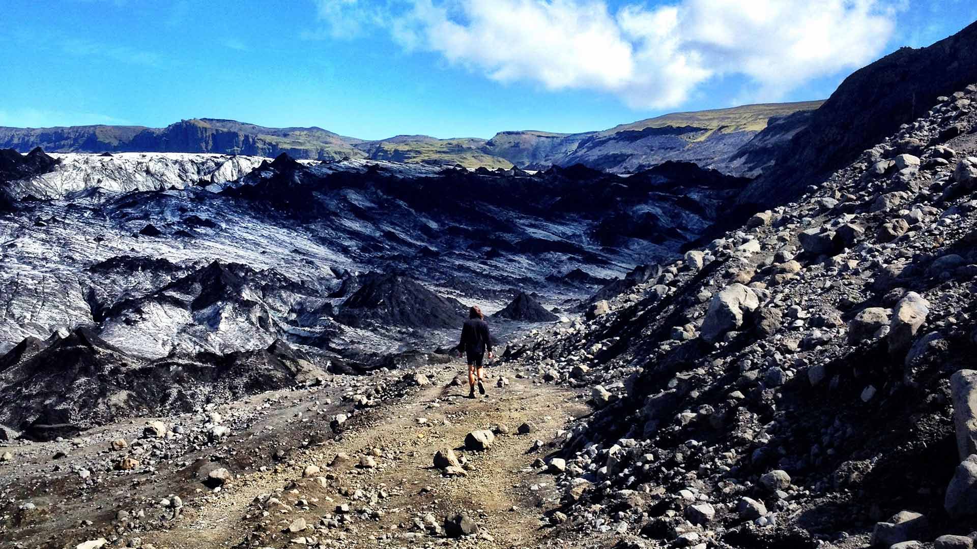
A majestic ice cap along the south coast
At 701 km2, Mýrdalsjökull is the fourth largest glacier in Iceland and one of the most dramatic. The country’s southern-most glacier, Mýrdalsjökull partially lies atop Katla – an active volcano that erupts every 40–80 years, melting the glacial cap and causing catastrophic floods that sweep glacial debris across the lowlands.
The first recorded eruption was in 894 and the last one in 1918, when 100- 300,000 cubic metres of water was released per second!
Katla’s caldera (or crater) is 10 kilometre in diameter and lies hundreds of metres below the ice. The glacier’s average ice thickness is 225 metres but in the caldera its thickness increases to an incredible 750 metres.
Sólheimajökull is an 8 km-long outlet of the Mýrdalsjökull glacier. A gravel trail off the Ring Road leads to a small car park near the glacier’s edge.
You should never attempt to walk on a glacier unless in the company of a professionally guided hiking tour (available as an optional activity).
View South Iceland
